APPLIED GEOPHYSICAL RESEARCH
Key laboratories carrying out the project are
– Educational and scientific laboratory «Mining»
– Training and teaching laboratory «Unmanned aerial vehicles»
Project description:
The project is focused on the development and implementation of modern methods of radar sensing of the subsoil to solve problems of geological exploration, monitoring the state of mountain ranges and creating digital models of underground space.
In the context of increasing complexity of geological exploration work and rising drilling costs, technologies that make it possible to obtain reliable information about the structure of the subsoil without carrying out expensive field work are of particular importance. The proposed approach is based on the use of high-precision radar scanning and modern methods of processing geophysical data.
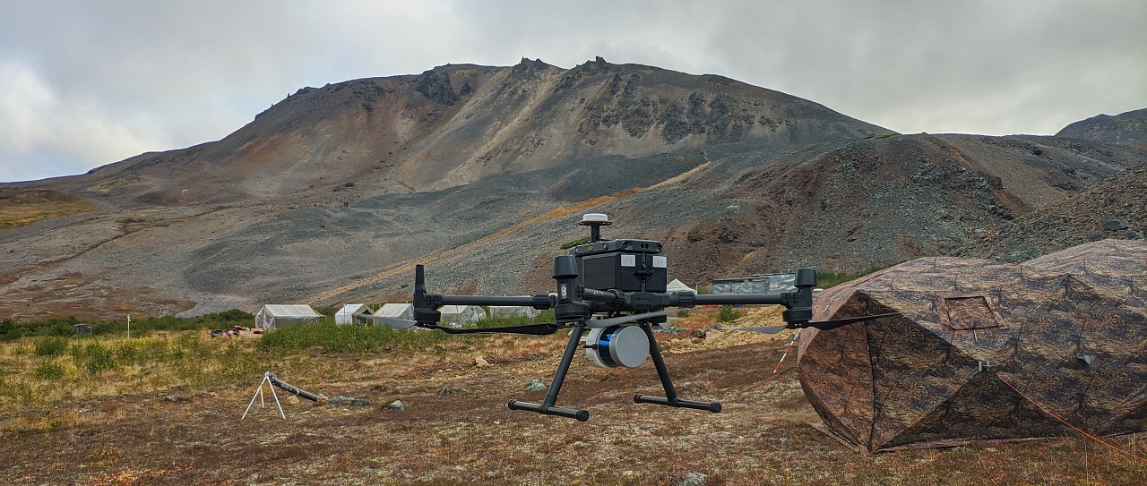
The technology can be used both from ground platforms and using unmanned aerial vehicles, which significantly expands the possibilities of conducting research in hard-to-reach areas, highlands and permafrost zones.
The project is of particular value for the search for ore deposits, since it allows us to identify zones of concentration of minerals with high dielectric constant and form three-dimensional models of potentially promising areas.
Key technology solutions:
Radar sensing of the subsoil;
Geophysical monitoring using UAV technologies;
Three-dimensional mapping of geological structures;
Digital models of deposits;
Geological risk analysis;
Support for geological exploration.
Practical effect and results:
The technology can significantly increase the efficiency of geological exploration, reduce the volume of expensive drilling and reduce the time required to search for promising areas. The result is an increase in the reliability of geological forecasts and a reduction in investment risks during field development.